Your AI-Powered Shield Against Vector-Borne Disease Outbreaks

WHY CHOOSE US?
The Rising Tide of Vector-Borne Diseases
Climate Change: A Catalyst for Spread
Rising global temperatures expand mosquito habitats, accelerating disease transmission to new regions.
Outdated Approaches Limit Impact
Manual inspection and reporting are labor-intensive, costly, and insufficient for large-scale, real-time monitoring, leaving communities at risk.
Economic Strain & Health Crises
Vector-borne diseases cost Africa an estimated 1.3% of its annual GDP. Outbreaks overwhelm health systems and claim countless lives.
OUR PHILOSOPHY
Informed Action
GeoMosquito integrates cutting-edge hardware with advanced AI to deliver unparalleled insights into mosquito populations and disease spread.
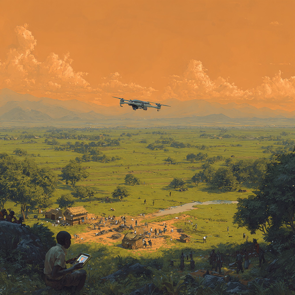
Data Collection: Multimodal Sensors
Our compact, drone-attachable device captures visual (IR & high-res cameras), auditory (MEMS microphone), and chemical (VOC sensor) data from potential breeding sites.
AI-Powered Analysis: Real-Time Predictions
Process live satellite imagery and sensor data with AI
Critical Alerts: Empowering Organizations
Real-time insights on alarming trends or high-risk areas.
Global Transparency: Interactive Web Application
Visualize mosquito population data in real-time, providing actionable insights for targeted interventions.
Why GeoMosquito is the Future of Disease Prevention
Moving beyond traditional limitations, GeoMosquito delivers a dynamic, cost-effective, and globally accessible solution.
Cost-Effective & Scalable
Unlike labor-intensive manual surveillance, GeoMosquito offers an automated, affordable solution capable of monitoring vast regions.
Dynamic & Predictive Insights
Leveraging machine learning and live satellite data, GeoMosquito predicts vector-borne disease spread in real-time.
Global Transparency & Awareness
Our public web application empowers anyone to visualize climate change's impact on disease patterns.
Actionable Intelligence for Leaders
Governmental bodies receive precise, reliable data, enabling efficient resource allocation.

WHY CHOOSE US?
A New Standard for Global Health Security
Empowering Proactive Health Management
For the WHO, CDC, NICD, and national health ministries, GeoMosquito provides unparalleled accuracy and efficiency in tracking and mitigating vector-borne diseases.
Your Right to Health, Your Access to Knowledge
Every individual deserves the highest standard of health protection. GeoMosquito's public platform democratizes access to vital information.
GET STARTED
Partner With Us to Create a Healthier Future
Whether you're a health organization, a research institution, or a passionate individual, your involvement can make a difference.